Historika Foundations Space Archaeology Program
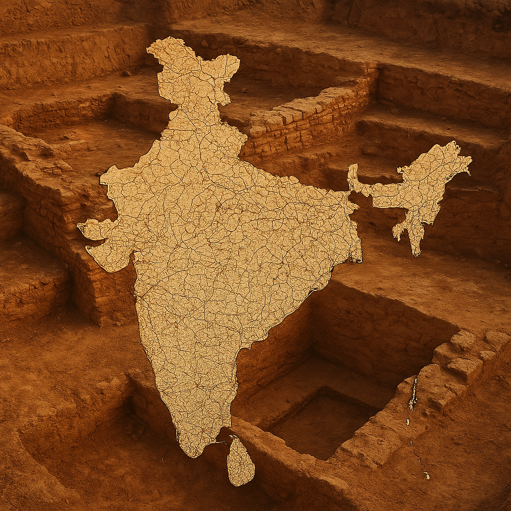
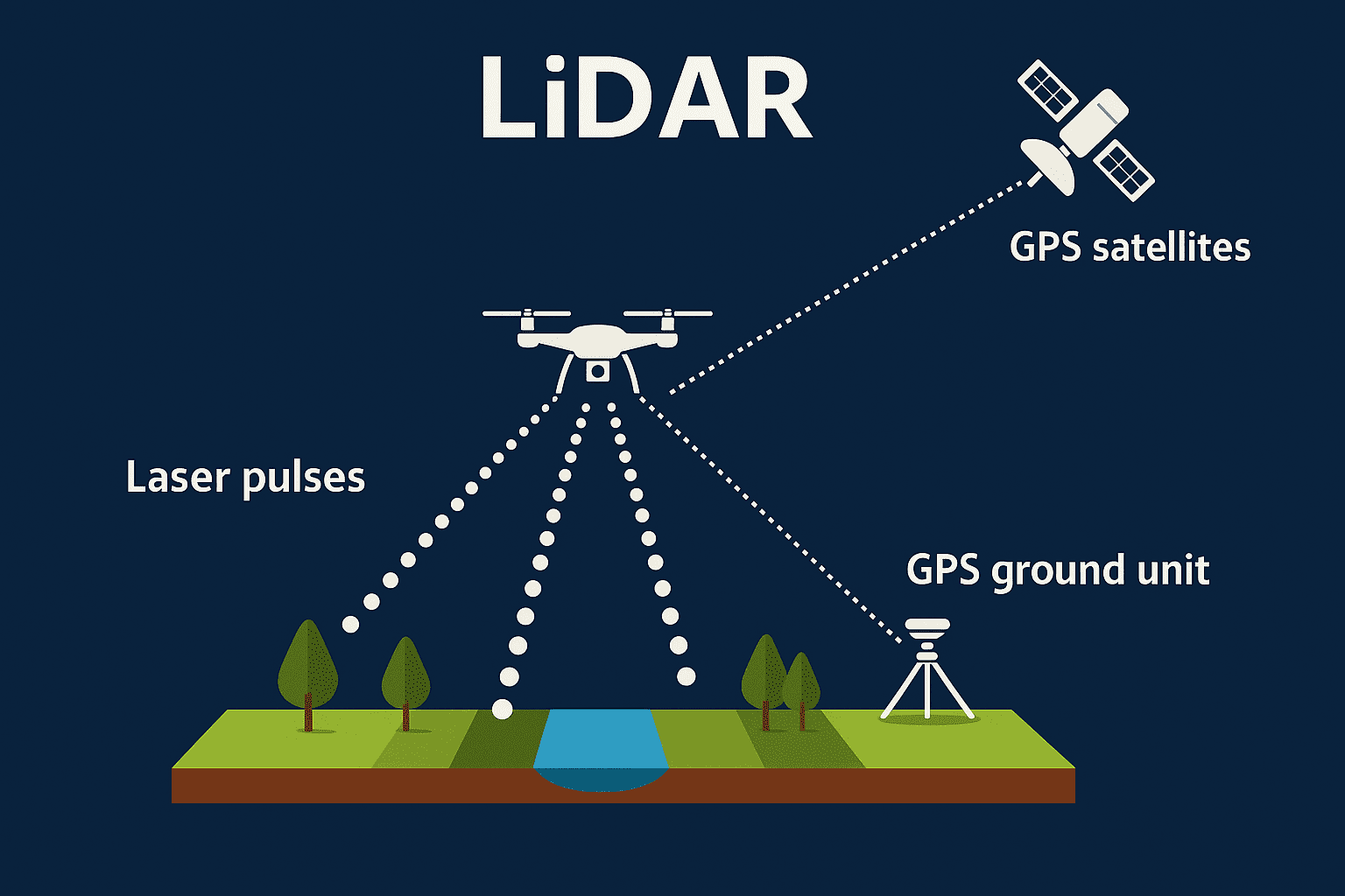
The Space Archaeology Program at Historika pioneers cutting-edge technologies to uncover and preserve India’s rich cultural and historical heritage. By employing satellite imaging, LIDAR, SAR, and infrared technologies, we identify and map buried archaeological sites across Rajasthan, Haryana, and Uttar Pradesh, revealing lost civilizations and invaluable cultural treasures. f
Advanced Technologies
Our program utilizes state-of-the-art technologies such as satellite imaging for broad surveys, LIDAR for detailed surface mapping, SAR for penetrating vegetation cover, and infrared for detecting subsurface anomalies. These tools enable us to locate and analyze potential heritage sites with unprecedented accuracy and efficiency.
Unveiling Lost Civilizations
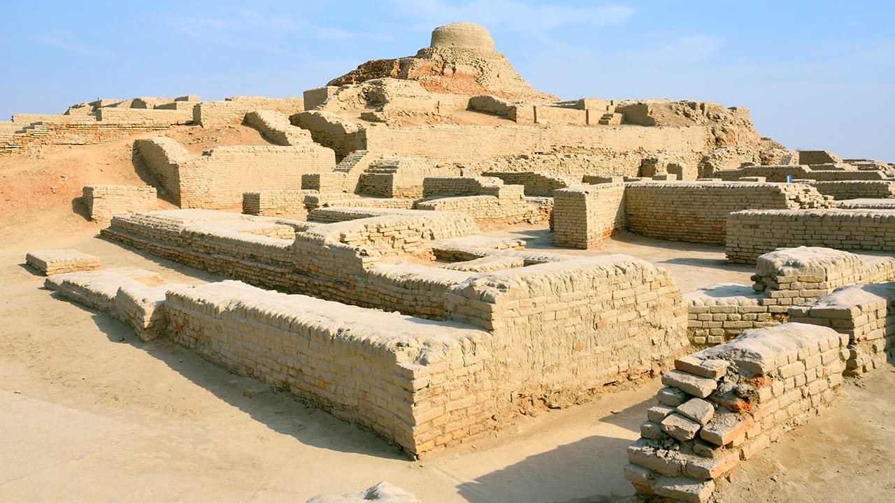
Our surveys have uncovered previously unknown settlements and recovered invaluable artifacts—shedding fresh light on India’s ancient civilizations. These discoveries deepen our understanding of regional cultural and societal evolution.
Operating Regions
Currently, our program focuses on the states of Rajasthan, Haryana, and Uttar Pradesh, regions known for their rich historical and archaeological significance. These areas hold immense potential for uncovering buried heritage sites and expanding our knowledge of ancient India.